Hand-Drawn Isometric Map from Coordinates
Create a detailed isometric map illustration from geographic coordinates, with labeled landmarks and a warm editorial style.
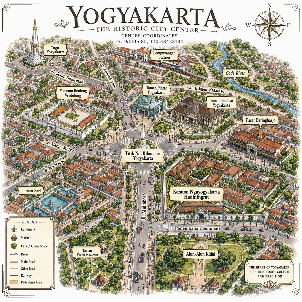
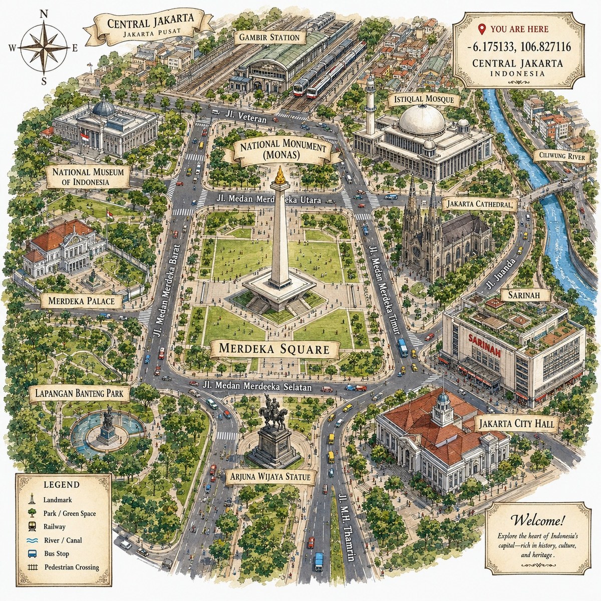
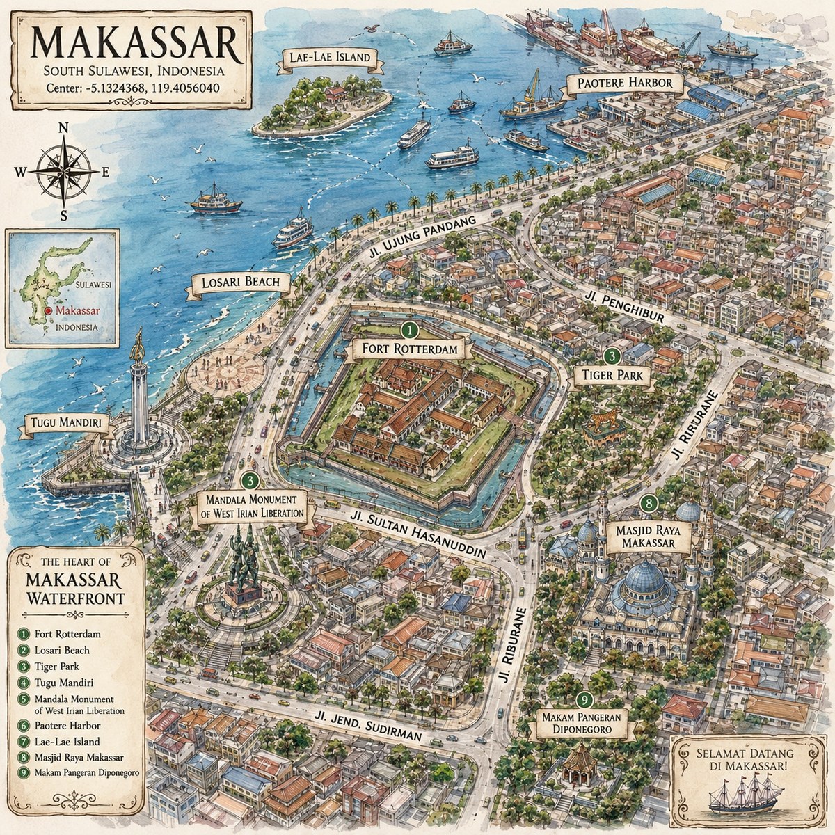
Example outputs
Prompt template
- Format
- Text Parameterized
- Inputs
- map_coordinates (text) · Required
- Outputs
- map_illustration (image)
Create a detailed hand-drawn isometric illustration of a map for these coordinates: ${map-coordinates}. Use a pen-and-ink editorial style and a bird’s-eye view. Feature iconic landmarks, streets, rivers, and parks, labeled with clean typography. Use a warm, muted color palette on a white background. Make the image 1080 × 1080 pixels, with a 1:1 aspect ratio.Replace the ${…} placeholders with your values
before using this prompt. See parameters
and defaults below
Parameters
Replace each placeholder with your own value, or use its default when one is provided
${map-coordinates}
map-coordinates
Required
What you'll create
Landmarks, streets, rivers and parks appear in a bird’s-eye pen-and-ink composition. Muted warm color and clean labels sit against white in a square editorial map.
Frequently asked questions
What determines the map location?
The map-coordinates parameter identifies the area.
What output dimensions are requested?
The image is 1080 × 1080 pixels.




Comments
Tried this prompt? Share what you made, compare results, or ask a question