Historical Europe Map with a Train Route
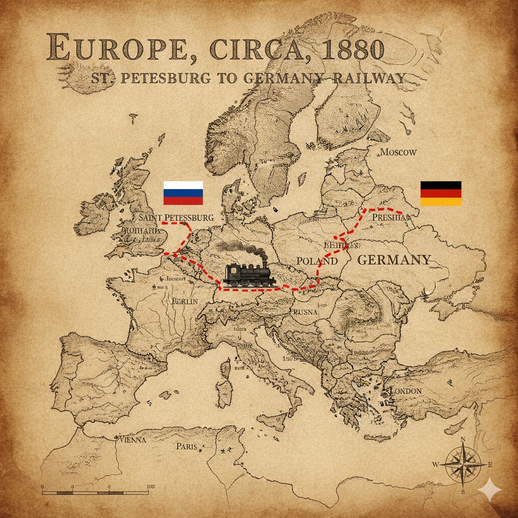
Create a historical map of Europe with a marked train route, national flags, and a train icon.
Example outputs
Prompt template
- Format
- Text Parameterized
- Inputs
- map_period (text) · Optional · Default: the 19th century route_start (text) · Optional · Default: Saint Petersburg, marked with the Russian flag route_destination (text) · Optional · Default: Germany, marked with the German flag
- Outputs
- HistoricalEuropeRouteMap (image)
Generate a map of Europe in ${map-period:the 19th century}. Show a schematic train route from ${route-start:Saint Petersburg, marked with the Russian flag} to ${route-destination:Germany, marked with the German flag}. Place a simple train figure on the route.Replace the ${…} placeholders with your values
before using this prompt. See parameters
and defaults below
Parameters
Replace each placeholder with your own value, or use its default when one is provided
${map-period:the 19th century}
map-period
Default: the 19th century
${route-start:Saint Petersburg, marked with the Russian flag}
route-start
Default: Saint Petersburg, marked with the Russian flag
${route-destination:Germany, marked with the German flag}
route-destination
Default: Germany, marked with the German flag
What you'll create
A map of Europe in the chosen historical period, with a train route linking the supplied starting point and destination. Endpoint flags and a small train make the route easy to follow.
Frequently asked questions
Can the map period and route change?
Yes. The period, starting point and destination are all editable inputs.
Comments
Tried this prompt? Share what you made, compare results, or ask a question